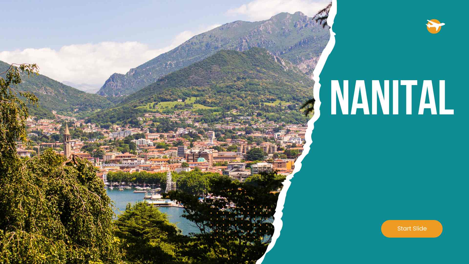
Rudraprayag: The Confluence of Divinity
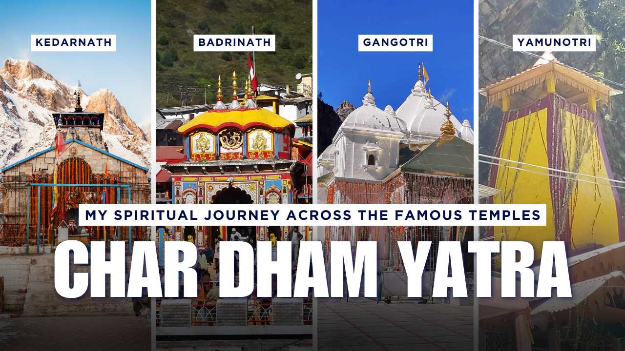
Rudraprayag district, named after the confluence of the Alaknanda and Mandakini rivers, is a land of deep spiritual significance. It is a key stop on the Char Dham Yatra and is home to the revered Kedarnath Temple.
1. Geographical & General Information
- Location & Boundaries: Located in the central part of Uttarakhand. It is surrounded by Tehri Garhwal, Chamoli, Pauri Garhwal, and Uttarkashi.
- Area, Elevation, Climate: Spans 2,439 sq km. The climate ranges from temperate to cold, depending on the altitude.
- Languages Spoken: Garhwali and Hindi.
2. History & Culture
Rudraprayag is steeped in ancient Hindu mythology and is a vital part of the sacred Garhwal Himalayas. The district is known for its vibrant religious customs and spiritual rituals.
3. Tourist Attractions
- Kedarnath Temple: One of the twelve Jyotirlingas of Lord Shiva and a part of the Char Dham Yatra.
- Chopta: Known as the "Mini Switzerland of Uttarakhand," a base for the Chandrashila trek.
- Tungnath Temple: The highest Shiva temple in the world.
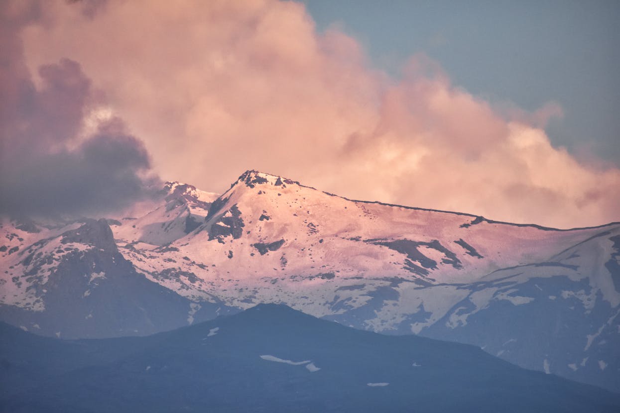
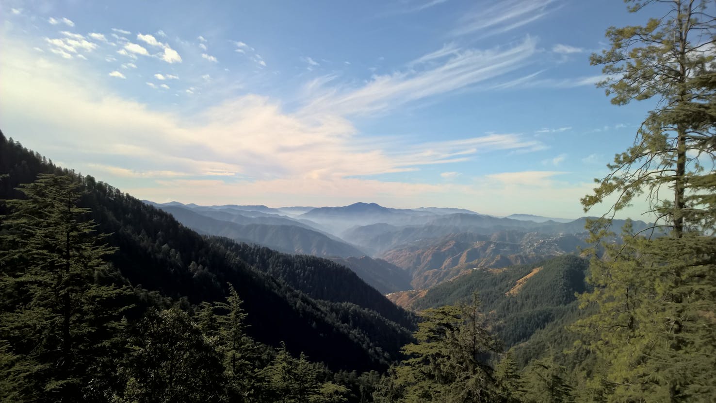
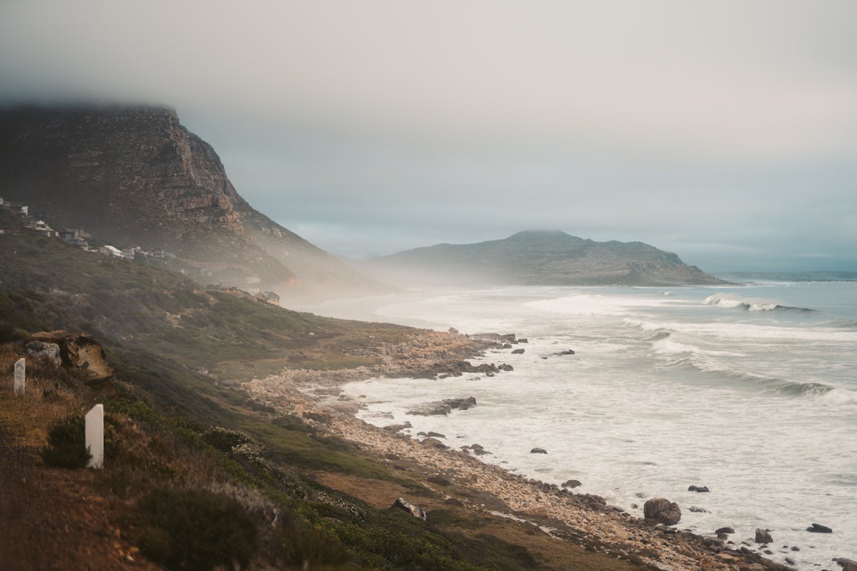
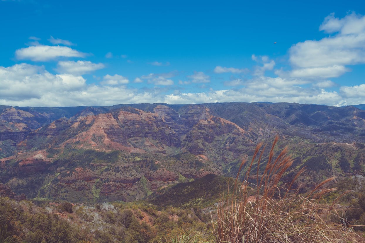
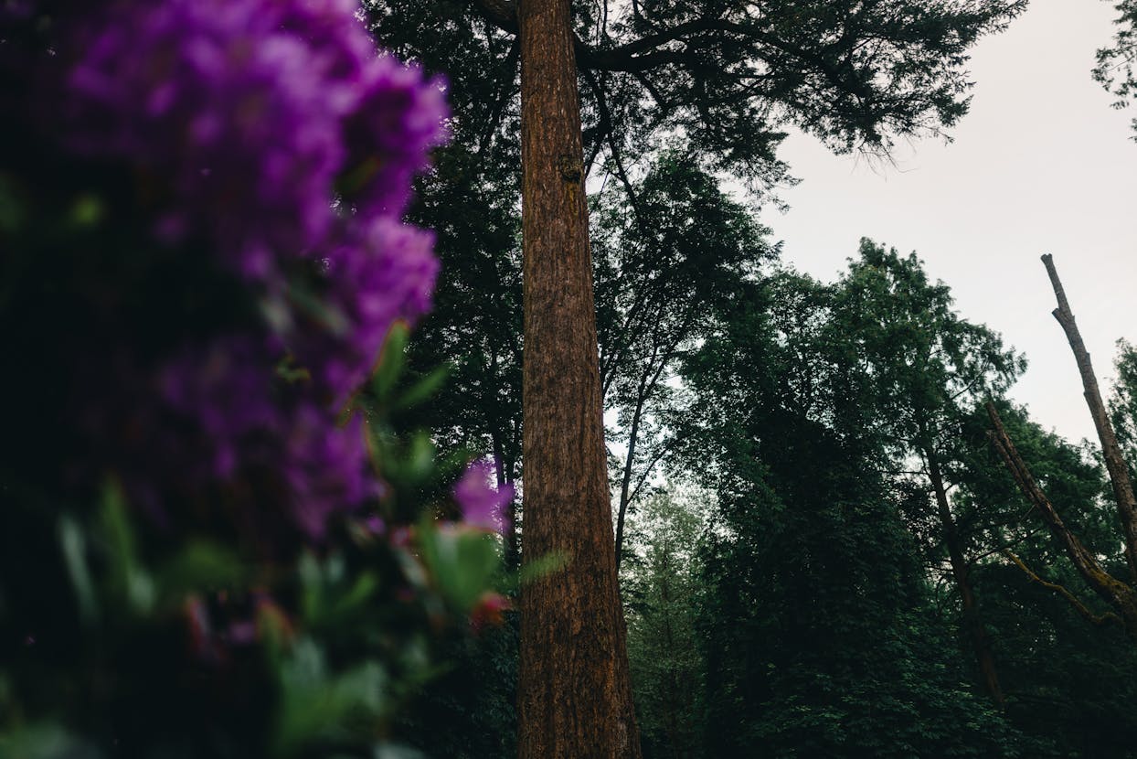
4. Natural Beauty & Activities
The district is defined by its scenic rivers, pristine valleys, and high-altitude meadows. It is a prime destination for pilgrims and adventure lovers, with opportunities for trekking and pilgrimage tours.
5. Best Time to Visit
May to October is the best time for pilgrimage and trekking. The Kedarnath temple remains closed during the winter months.
6. Conclusion
Rudraprayag is a place where faith and nature converge, offering a powerful spiritual experience amidst some of the most spectacular mountain scenery in the world.